So far we had spent two nights at each accommodation, but now we turned towards the coast again and had single nights in two towns on the way to our final two night stop in Agadir.
We left the desert with regret, returning to Erfoud and the bus. From there, although we drove for most of the day, it was a long time before we were out of the arid zone. On the way we passed a very ancient underground canal system that still brings water from the mountains to the oases.

Ancient underground canals.
The cross-section at the bottom of the sign explains.

Each of those hummocks is a well down to the canal.

The end result.
Irrigated alfalfa, beans and date palms.
It was also much clearer and we had fine views of the High Atlas as we ran parallel to them on our way south to Ouarzazarte (try that with a mouthful of chips). We went through several Berber towns and stopped for wonderful fresh-squeezed orange juice from a guy who showed us a postcard he had received from appreciative Australian customers.
Ouarzazarte sits beside a very large artificial lake which provided us with a whole lot of new birds. It also has a very fine kasbah, but there was no time to explore!

Atlas snows, from the bus.

Another Berber town.
Note all the satellite dishes!

Roadside view.
Each tree has its own dam to conserve water.

Palm leaf camel.
Made in 30 secs by a lad who gave it to us, but asked for "une cadeau" in return.

Water at last!
The lake at Ouarzazarte.

The kasbah at Ouarzazarte.
(Out of the bus window: as close as we got!)

Desert kasbah?
Nope. Film set outside Ouarzazarte, Morocco's Hollywood.
The following day we stopped for lunch in a market town called Tazenakht which serves many surrounding villages. As we were eating on the street we could discretely watch the locals who had come in for the market, and they could (less discretely) check us out. It was hard (and impolite) to photograph people, but there was a wonderful range. I even saw one guy wearing a ceremonial dagger. There were donkeys and donkey carts, old vans with sheep in cages on top and people of all sorts. And a lot of dust!

Tazenahkt street scene.
Surreptitiously photographed.

Tazenahkt.
To market, to market....

Dusty street, Tazenahkt.
The next night's stop was in Taroundante where we stayed in a palace! This town has the best preserved city walls in all Morocco and our hotel began life as the palace of the local supremo, more or less built into the wall. Our room was amazing: it wasn't a room, but a suite on two levels with two bedrooms, two bathrooms and its own private roof garden. The only pity was that we only had about 12 hours to enjoy it. In the morning, rather than joining the birders on the roof trying to sort out the Pallid Swift from the Common Swift, we sneaked out and walked round part of the walls. We ducked into one of the gateways into the old town, but we weren't game to try to navigate our way back through the alleyways; mustn't keep the bus waiting.

Getting greener.
Heading west through the southern end of the Atlas.

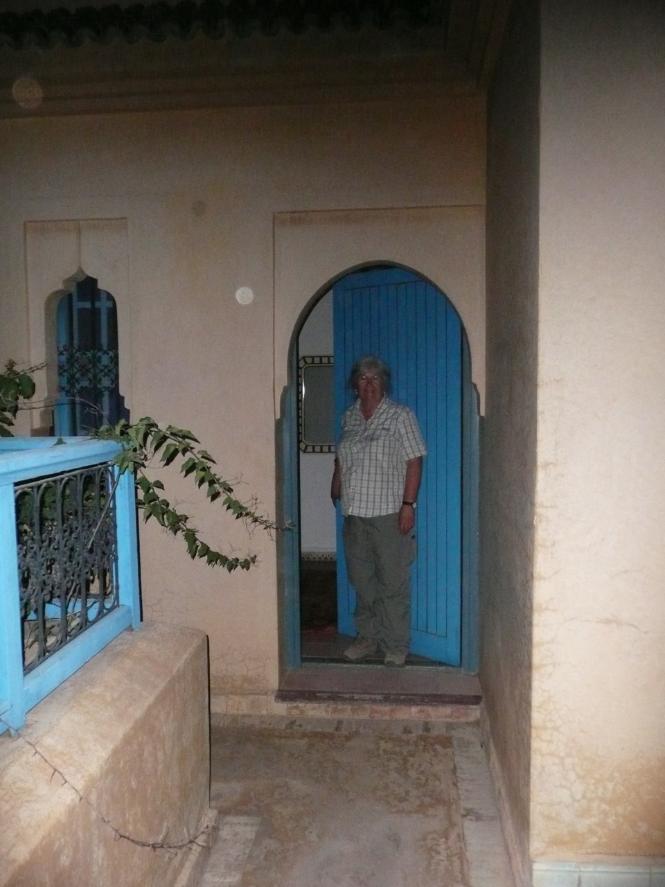
The palace apartment in Taroundante.
We decided to sleep downstairs.

Taroundante apartment.
Entry way and stairs, inside the apartment.

Our roof-top garden.

Part of the palace gardens.

Palace courtyard.

Palace door.

Early morning swift watchers: Common or Pallid?
The one on the left doesn't looked entirely rapt.

Taroundante city walls.
Complete circuit is a 1.5 hour walk.

Taroundante gateway.
On the road today we passed through Talouine, saffron capital of Morocco. They produce two and half tons of saffron every year and when you consider that one flower yields just three little stamens, that's an awful lot of flowers. We were able to buy saffron very cheaply at a local shop.

The saffron shop in Talouine.
Now, as we skirted round the southern end of the Atlas mountains the country was at last becoming better watered. We drove west down the Souss River valley into an intensively agricultural area. But the hills, and anywhere not cultivated, were dominated by the argan tree, in a landscape that reminded me of the Albert Namatjira paintings of the Flinders Ranges.

Argan trees in the upper Souss valley.

Argan trees.

Argan fruit.
Waiting for a hungry goat.

Intensive cropping in the Souss valley.
Never saw exactly what these were; mint perhaps (we drank a lot of mint tea).
Argan trees produced a hard fruit around a oil-bearing nut which is the basis of a vegetable oil industry. In the traditional way the fruit is eaten by goats, then the nuts are recovered from the goat droppings, crushed and pressed for the oil. A bit like that very expensive coffee that goes through the gut of some creature or other. It seems there are now more modern ways of extracting the oil, and it is on sale everywhere for both culinary and cosmetic purposes.

Shop selling argan oil products.
Agadir doesn't have much to commend it, unless you like large modern beachside cities. That's because the whole place was flattened by an earthquake in 1960 from which only one building survived. We were there for the
Bald Ibis, a bird badly in need of friends, but with few natural advantages. It only survives in two small colonies on the coast, which no one is allowed to visit, but the birds turn up for a midday drink at an estuary nearby, and we saw them, at least in the distance.

The Bald Ibis beach, north of Agadir.

Some tasty surf around Agadir.
We also wanted to visit the mouth of the Souss estuary, but it borders on a very posh golf course where an international competition was being played, and despite three attempts we could not persuade the security guards to allow a motley crew, some in camouflage gear, armed with high-powered telescopes into the restricted area. Funny, that.
Our last day took us south to the Massa estuary. This is effectively the last river for a very long way south along the west African coast, so it is an important staging post for migrant birds as they fly between southern Africa and Europe.

Massa River, south of Agadir.

Succulent vegetation in the Massa National Park.
And so our Moroccan adventure drew to a close. We saw so much and thanks to the birds we were able to get out into the wild and taste it, which you can't do through the windows of a vehicle. It would have been good to have also been able to "taste" the towns a bit more, but that will have to wait for another time.